The number of ships entering Arctic waters has increased 25% 2013-19 with the total distance sailed growing 75% from 6.51 million nautical miles to 9.5 million nautical miles for the period, The Arctic Council says.
“The exploration and extraction of resources and increasing marine tourism combined with changing environmental, societal and economic patterns is leading to more shipping activity in the region and have brought a complex set of users to the maritime Arctic,” the council said with data released April 13.
Council route maps indicate most of that traffic is outside Canadian High Arctic waters generally known as the Northwest Passage. The bulk is through the Northern Sea Route north of Russia.
The council said marine environment changes - including sea ice thinning and reduction – mean longer navigation seasons and access to previously difficult-to-reach coastal regions.
As such, the council found a gap in shipping trend knowledge in the Arctic. So, the council’s Protection of the Arctic Marine Environment Working Group has created its first Arctic shipping status report using its newly established shipping database.
The report covers an area known as the Polar Code region generally defined as north of 60° N but limited by a line from Greenland; south at 58° - north of Iceland, southern shore of Jan Mayen - Bjørnøya – Cap Kanin Nos.
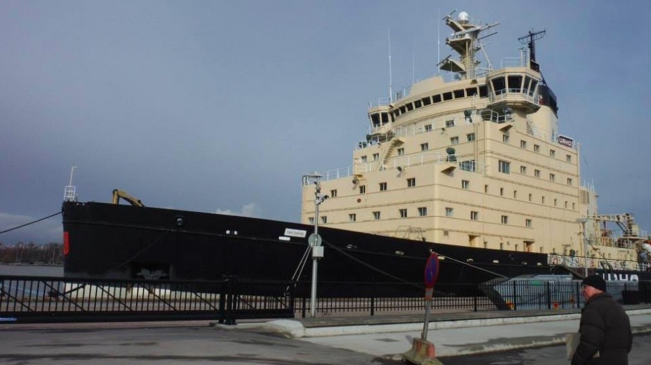
The report also found the majority (41%) of ships entering the Polar Code Area are fishing vessels while other common ships to navigate the region include icebreakers and research vessels followed by general cargo ships, bulk carriers and refrigerated cargo vessels. An increase in Arctic marine tourism realized 73 cruise ships sailed in the Arctic Polar Code area in 2019.
And, the distances sailed by bulk carriers in the Arctic Polar Code area has risen 160 percent between 2013 and 2019.
The report noted the median amount of ice coverage diminished from 6.1 million square kilometres in 1999 to 4.3 million square kilometres in 2019.
University of B.C. political science Prof. Michael Byers said international cooperation and resource extraction disputes are part of the equation.
He said there has been significant fishing in both the Bering Sea and the Barents Sea, the latter being well-managed between Russia and Norway.
Byers said the increase in bulk carrier traffic in and out of the Mary River iron ore mine on northern Baffin Island is striking, though not necessarily a bad thing.
“However, there is a current dispute involving the company and the Inuit over a planned expansion of that mine,” said Byers, whose work has an Arctic sovereignty, climate change and law of the sea focus.
And, he said, there is a ship track in the data over the Chukchi Plateau north of Alaska suggesting the U.S. has been gathering more data concerning the outer limit of the continental shelf there.
“Although the U.S. has not ratified the UN Convention on the Law of the Sea, it has been preparing -- for the last decade or so -- to assert an outer limit for its sovereign rights over the seabed there under customary international law,” Byers said. “The U.S. and Canada have a maritime boundary dispute in that area, which could usefully be negotiated once the US asserts an outer limit.”
Byers said if the U.S. is continuing data gathering, it supports his analysis that the Arctic is a zone of international cooperation.
“The Trump administration has been turning away from a great deal of international cooperation, but data gathering for the purposes of asserting an outer limit is consistent with what the other Arctic countries have done and reflects a willingness to abide by customary international law,” Byers said.
@jhainswo


